GIS Locating
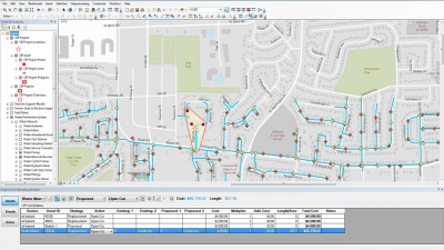
DPS has begun work on our GIS Mapping Program (Geographical Information System). This system uses precise GPS technology to aid in locating and maintaining utility assets, planning, and speed up emergency response. We will also be able to gather information faster and offer improved customer service.
Your cooperation in necessary. Crews from White Lake Township and Johnson & Anderson engineering will be out locating and collecting GPS coordinates to precisely locate your water shut off valves. A blue water flag will be placed on the valve and removed a few days later when the information has been collected. If you have questions or would like additional information about our GIS program, please contact the Water and Sewer Dept. at 248-698-7700.

